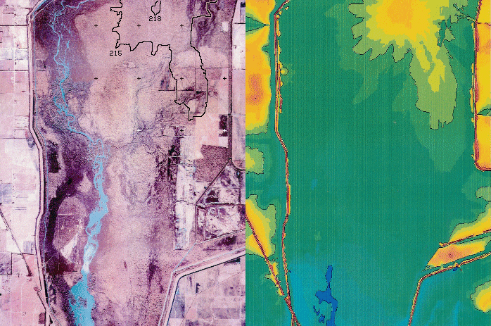
Hatchie Coon Island
Blink Comparator
Satellite Image
vs
Colorized Graph of
USGS Elevation Data
Hatchie Coon Island elevation contours
drawn on the satellite image are based
on Google Earth elevations vs lat/long.
Installed 15 Nov 2006.
Latest update 01 Dec 2006.